
A boater's home on the Indian River.
Private deep-water dock. Kayaks and paddleboards included. Three minutes to the ramp, fifteen minutes to Sebastian Inlet by boat, and a legendary sandbar right at the mouth.
Deep water, power, freshwater, and light.
Tie up your own boat for the whole stay. Mooring available for jet skis. Freshwater rinse hose and 120V power on the dock. Sunrise fishing right off the pilings — sheepshead, snook, trout, redfish.
- · ~50 ft of private dock frontage on the Indian River
- · Comfortably takes a 30' boat — we keep our own 26-footer tied up here; larger boats are often fine, just check with us first
- · Deep-water private dock with lighting, power (120V), and freshwater
- · Mooring available for boats or jet skis
- · 2 kayaks + 2 paddleboards free for guests
- · Trailer parking on-site (boats & jet skis)
- · Direct river access — no locks, no bridges
Two boat ramps within two miles. One inlet to the Atlantic.
Free public boat ramp, small trailer parking. The fastest launch to Sebastian Inlet.
Brevard County ramp for larger boats — deeper draft, more trailer parking, restrooms.
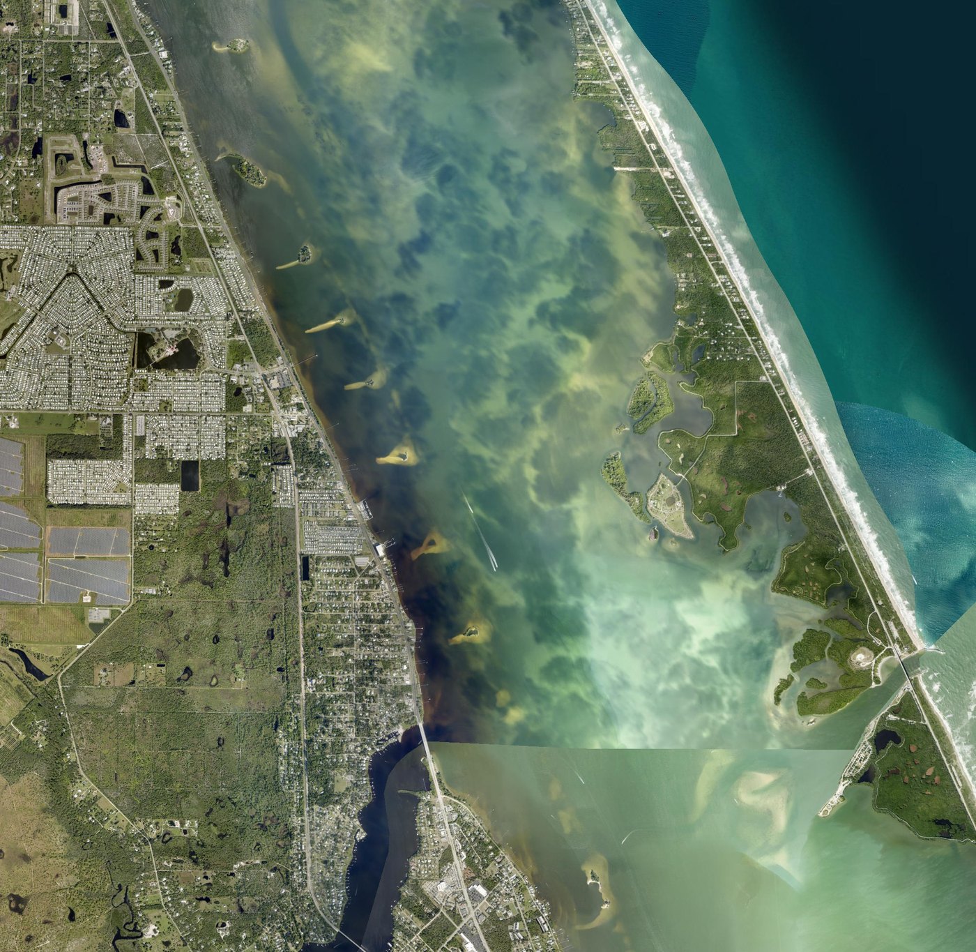
From our dock to the Atlantic — 6.9 miles, about 20 minutes.
Leave the dock, run south-east down the Intracoastal Waterway across the Indian River Lagoon, keep west of the Long Point Park islands, then turn east and straight out through Sebastian Inlet.
Sebastian Inlet tides
NOAA stationLoading tide predictions…
Predictions for NOAA station 8722004 (Sebastian Inlet bridge), MLLW datum, local time. Outgoing tide against an east swell makes the inlet mouth roughest — the calmest run out is near slack water at the tide change.
Florida's most photographed sandbar is a 15-minute run.
Anchor up on a weekend low tide and you'll be one of a hundred boats — kids in the shallow water, dogs on the sand, coolers floating in the pass. We wrote a full guide.
Read the Sandbar guide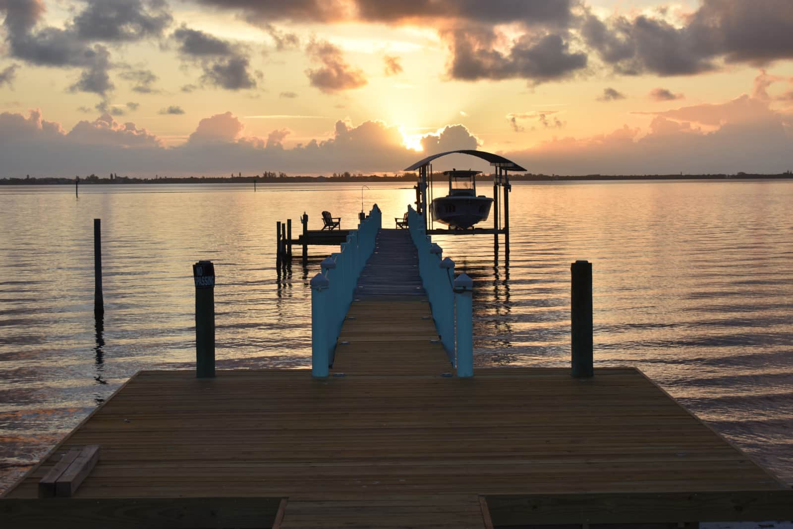
Don't have a boat? No problem.
Coming with the boat?
Trailer parking, dock power, and a ramp three minutes away. Book direct.
Check datesBoaters keep coming back
4.83★ on Airbnb (40) · 9.2/10 on VRBO (15) · 55 verified stays · 100% response rate
“The dock was perfect, had a lot of space, and we even fished a couple of times and caught some fish.”
“We especially loved having access to the private dock, and the open floor plan made the space feel comfortable and inviting.”
“We loved the panoramic view of the river and being able to walk out on the dock”